

#30DayMapChallenge as #1Day30MapsChallenge (2021)
source link: https://hannes.enjoys.it/blog/2022/11/30daymapchallenge-as-1day30mapschallenge-2021/
Go to the source link to view the article. You can view the picture content, updated content and better typesetting reading experience. If the link is broken, please click the button below to view the snapshot at that time.

#30DayMapChallenge as #1Day30MapsChallenge (2021)
Not sure why I never posted this last year but I did the #30DayMapChallenge in a single day, streamed live via a self-hosted Owncast instance. It was … insane and fun. This year I will do it again, on the 26th of November.
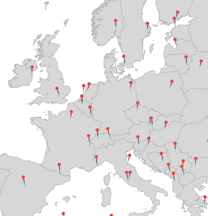
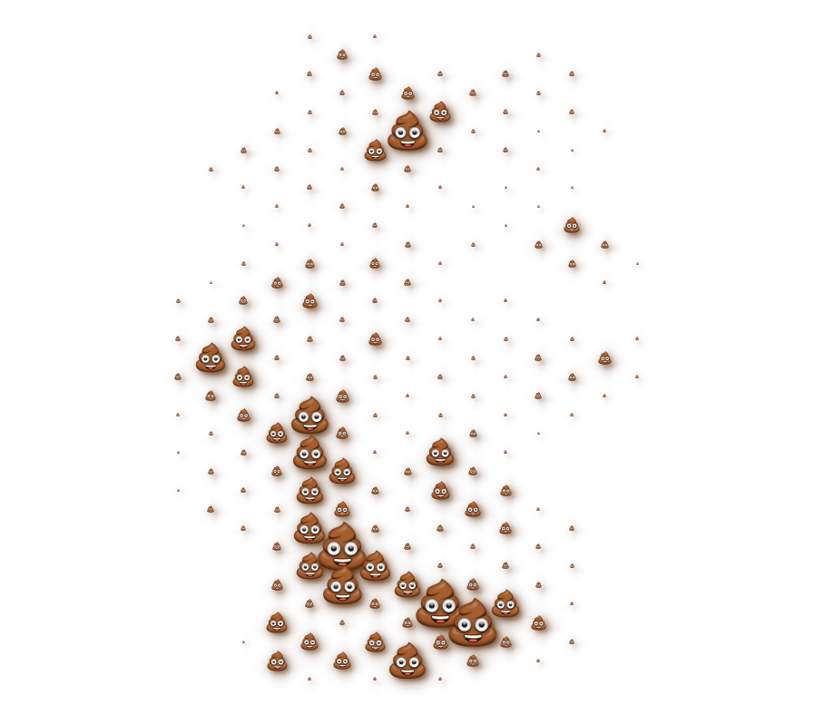
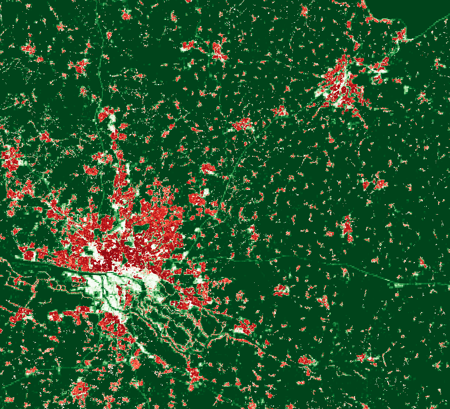
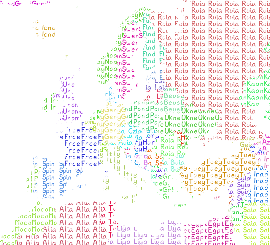
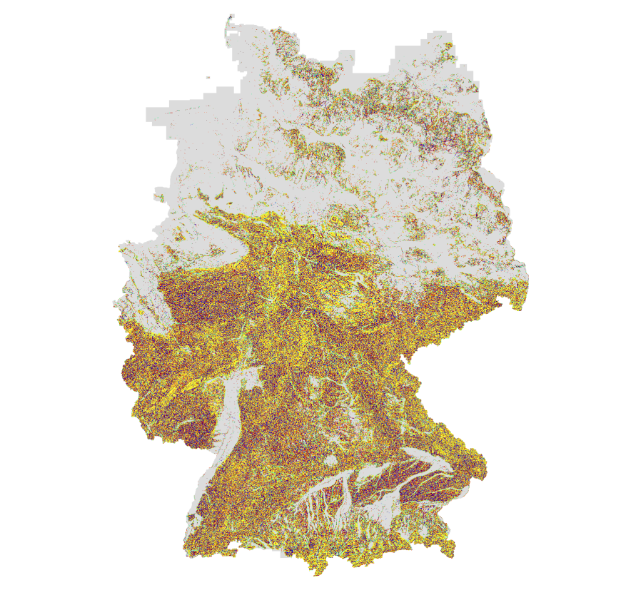
Here are most of the maps I made last year:


Some notes I kept, please bug me about recovering the others from my Twitter archive (I deleted old tweets a bit too early):
- 1 Points: Pins via Geometry Generator in QGIS
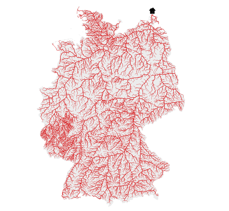
- 2 Lines: River elevation profiles of Elbe, Rhein, Ems, Weser, Donau and Main. DEM: © GeoBasis-DE / BKG (2021)
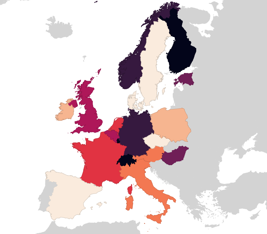
- 13 NaEr I mean Natural Earth (Blame @tjukanov)
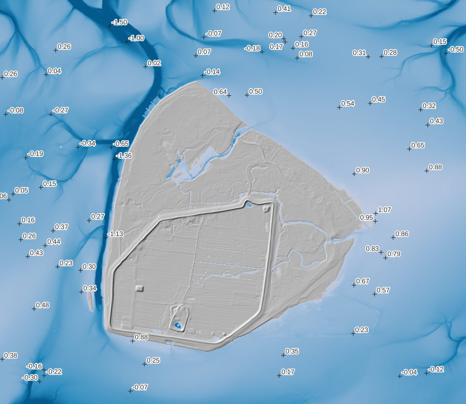
- 18 Water (DGM-W 2010 Unter- und Außenelbe, Wasserstraßen- und Schifffahrtsverwaltung des Bundes, http://kuestendaten.de, 2010)
- 20 Movement: Emojitions on a curvy trajectory. State changes depending on the curvyness ahead. Background: (C) OpenStreetMap Contributors <3
- 21 Elevation with qgis2threejs (It’s art, I swear!
- 22 Boundaries: Inspired by Command and Conquer Red Alert. Background by Spiney (CC-BY 3.0 / CC-BY-SA 3.0, https://opengameart.org/node/12098)
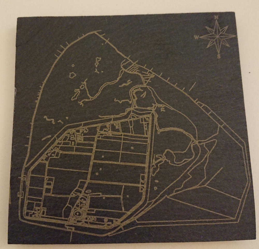
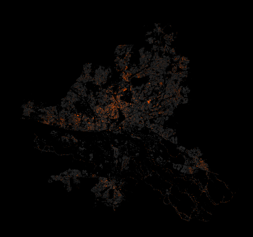
- 24 Historical: Buildings in Hamburg that were built before the war (at least to some not so great dataset). Data Lizenz: Datenlizenz Deutschland Namensnennung 2.0 (Freie und Hansestadt Hamburg, Landesbetrieb Geoinformation und Vermessung (LGV))
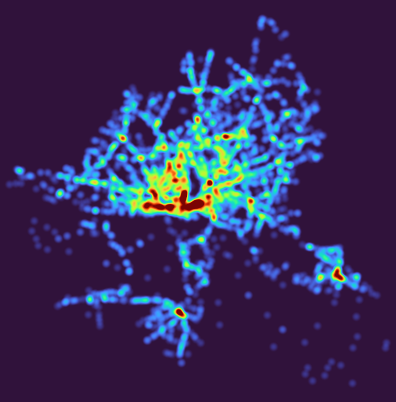
- 27 Heatmap: Outdoor advertisements (or something like that) in Hamburg. Fuck everything about that! Data Lizenz: Datenlizenz Deutschland Namensnennung 2.0 (Freie und Hansestadt Hamburg, Behörde für Verkehr und Mobilitätswende, (BVM))
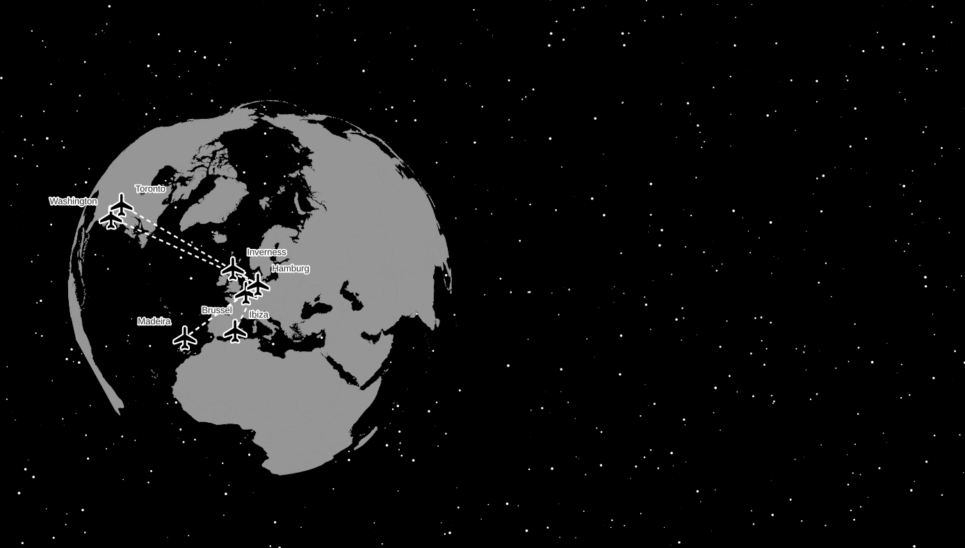
- 28 Earth not flat. Using my colleague’s Beeline plugin to create lines between the airports I have flown too and the Globe Builder plugin by @gispofinland to make a globe.
This entry was posted in cartography, GIS, Hamburg, map, open data, osm, qgis, raster on 2022-11-15.
Post navigation
← Looking at the number of “concurrent” readers on the Süddeutsche Zeitung articles
1 thought on “#30DayMapChallenge as #1Day30MapsChallenge (2021)”
-
Njilla Nkwabong Jessy Arnold 2022-11-16 at 13:43
please i want to know how to make this video about lines
Reply ↓
Leave a Reply Cancel reply
Your email address will not be published. Required fields are marked *
Comment *
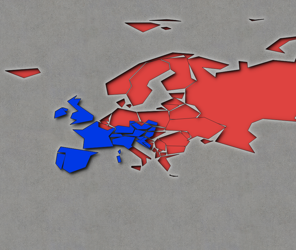
Name
Website
This site uses Akismet to reduce spam. Learn how your comment data is processed.
Recommend
-
47
-
25
-
27
The Unicode Consortium announced last week that it was pushing the release of Unicode 14 back by six months. Now instead of a new batch of emoji coming out in 2021, we won’t see the new ones until 2022. The reason is — you...
-
64
README.md NUS CS2030 AY2020/21 Semester 1 Welcome to the home repository for CS2030! To Find out more about how to contribute,
-
14
广州 - @ffffb - v 站嘛,默认就是 IT 岗,所处行业不限。
-
6
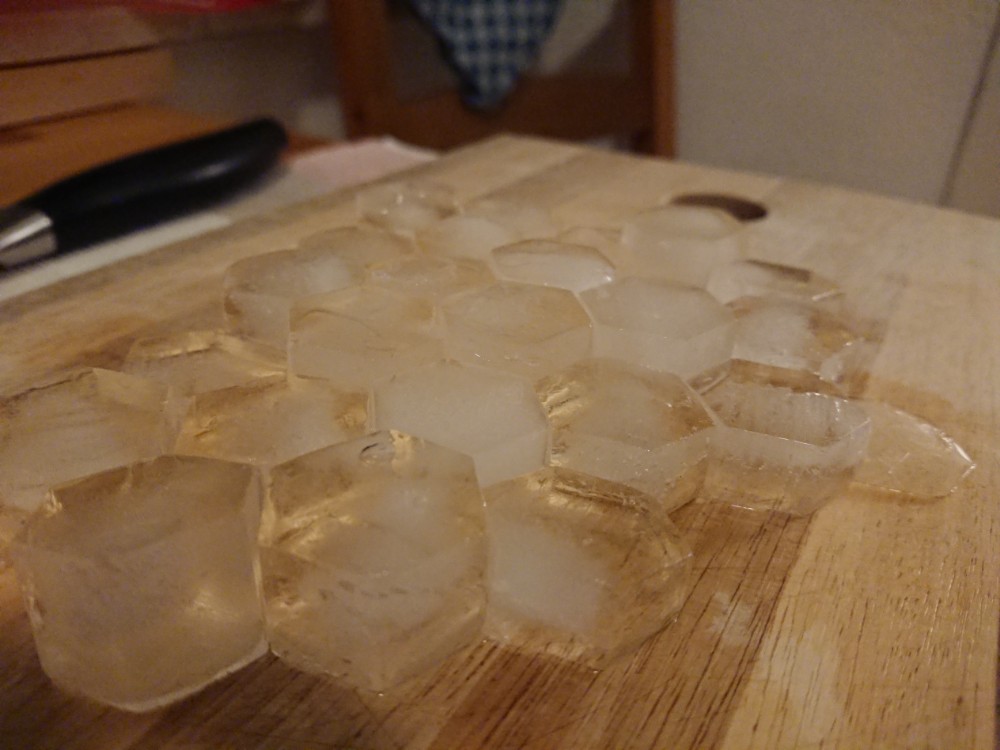
#30DayMapChallenge: Day 4 – Hexagons Leave a reply
-
24
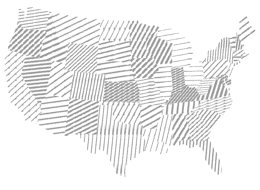
#30DayMapChallenge: Day 3 – Polygons OR Lego® style brick raster in QGIS using Geometry Generator expressions
-
7
#30DayMapChallenge: Day 2 – Lines Leave a reply
-
3
#30DayMapChallenge
-
8
This is the latest in my series of screencasts demonstrating how to use the tidymodels packages, from just getting started to tuning more comp...
About Joyk
Aggregate valuable and interesting links.
Joyk means Joy of geeK