

Ohio launches state-wide UTM to enable scaling of drone services
source link: https://dronedj.com/2024/03/28/ohio-launches-state-wide-utm-to-enable-scaling-of-drone-services/
Go to the source link to view the article. You can view the picture content, updated content and better typesetting reading experience. If the link is broken, please click the button below to view the snapshot at that time.
Ohio launches state-wide UTM to enable scaling of drone servicesSkip to main content
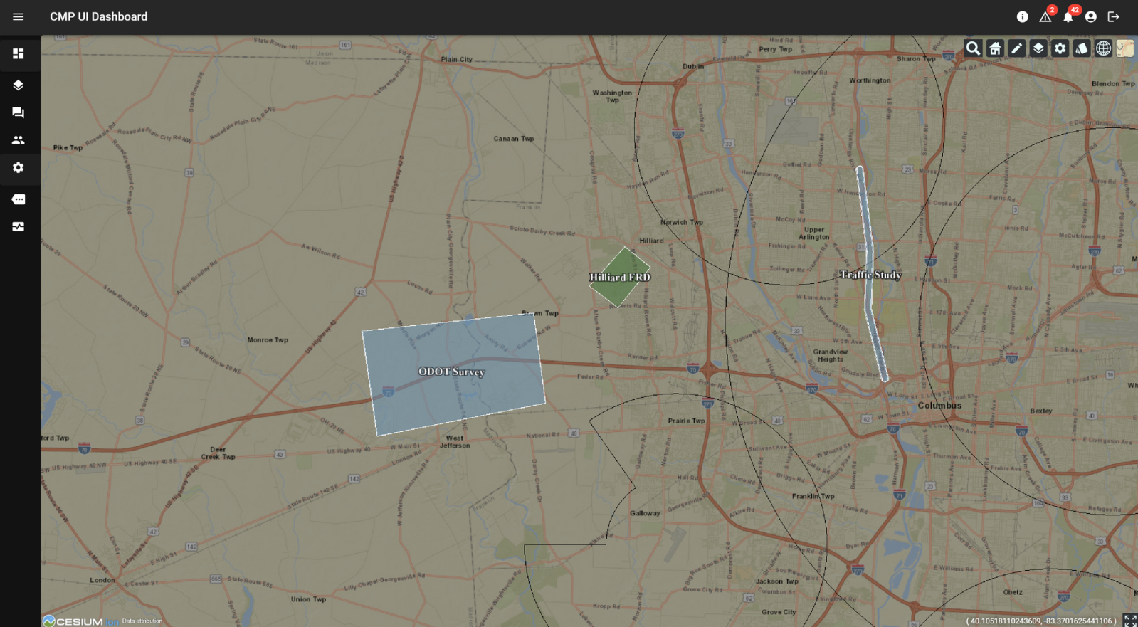
The Ohio Department of Transportation (ODOT) is launching the state’s first low-altitude UAV traffic management system (UTM) to permit safe scaling of drone operations, and eventually clear the way for routine beyond visual line of sight flights by professional service providers and public administrations.
ODOT is introducing the state-wide UTM in partnership with Dayton-based drone navigation tech company CAL Analytics. The asset will be open to all pilots across Ohio, and permit data sharing necessary for safe, collision-free operation as low-altitude aerial activity increases in coming years.
The new UTM is designed to facilitate exchanges of flight details between enterprise, public service, and individual pilots to enable non-conflicting mission planning and execution. As the Federal Aviation Administration (FAA) increases the number of beyond visual line of sight authorizations in Ohio, ODOT says the platform will also ensure the data exchanges necessary to perform those flights without incident.
“The introduction of this vital capability continues Ohio’s tradition of innovation in the aviation community while prioritizing safety,” said Rich Fox, director of the Ohio UAS Center at ODOT.
While both private and public organizations can enroll to use the new UTM, ODOT says the resource will be particularly valuable to state agencies and local governments across Ohio, whose drone programs are multiplying. The platform is open without cost to all operators and fleet managers requesting access, and completing the integration process.
The CAL Analytics UTM tech was selected for allowing interoperability and data sharing between a large number of users. ODOT also says the company’s tech will be central to enabling large-scale beyond visual line of sight activities, including medical and commercial deliveries, emergency services, infrastructure inspections, and a variety of drone missions requiring complete, continually updated situational awareness information.
“We couldn’t be more thrilled to continue our collaboration with ODOT by deploying this discovery and synchronization service to fully realize this first of a kind operational UTM capability throughout the state of Ohio,” said Sean Calhoun, managing director of CAL Analytics. “We are looking forward to working with the various interested stakeholders throughout the state and the FAA to learn from this system and to start scaling UAS operations throughout Ohio.”
FTC: We use income earning auto affiliate links. More.
Recommend
About Joyk
Aggregate valuable and interesting links.
Joyk means Joy of geeK